WOCAT-QM is an evaluation tool for understanding land degradation and conservation activities. It is also able to link to a country-level land use spatial database, allowing the production of thematic maps and area calculations on various aspects of land degradation and conservation.
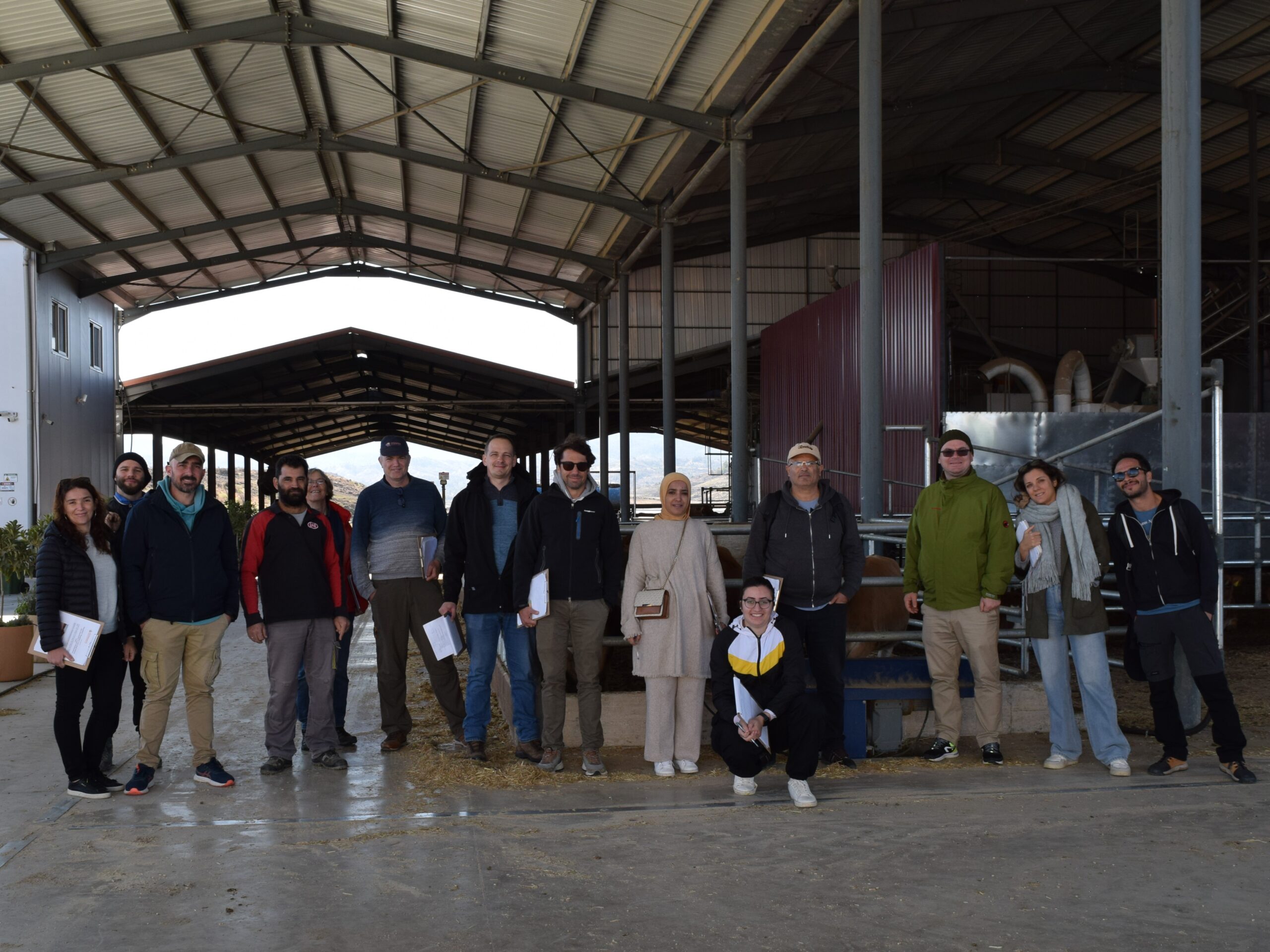
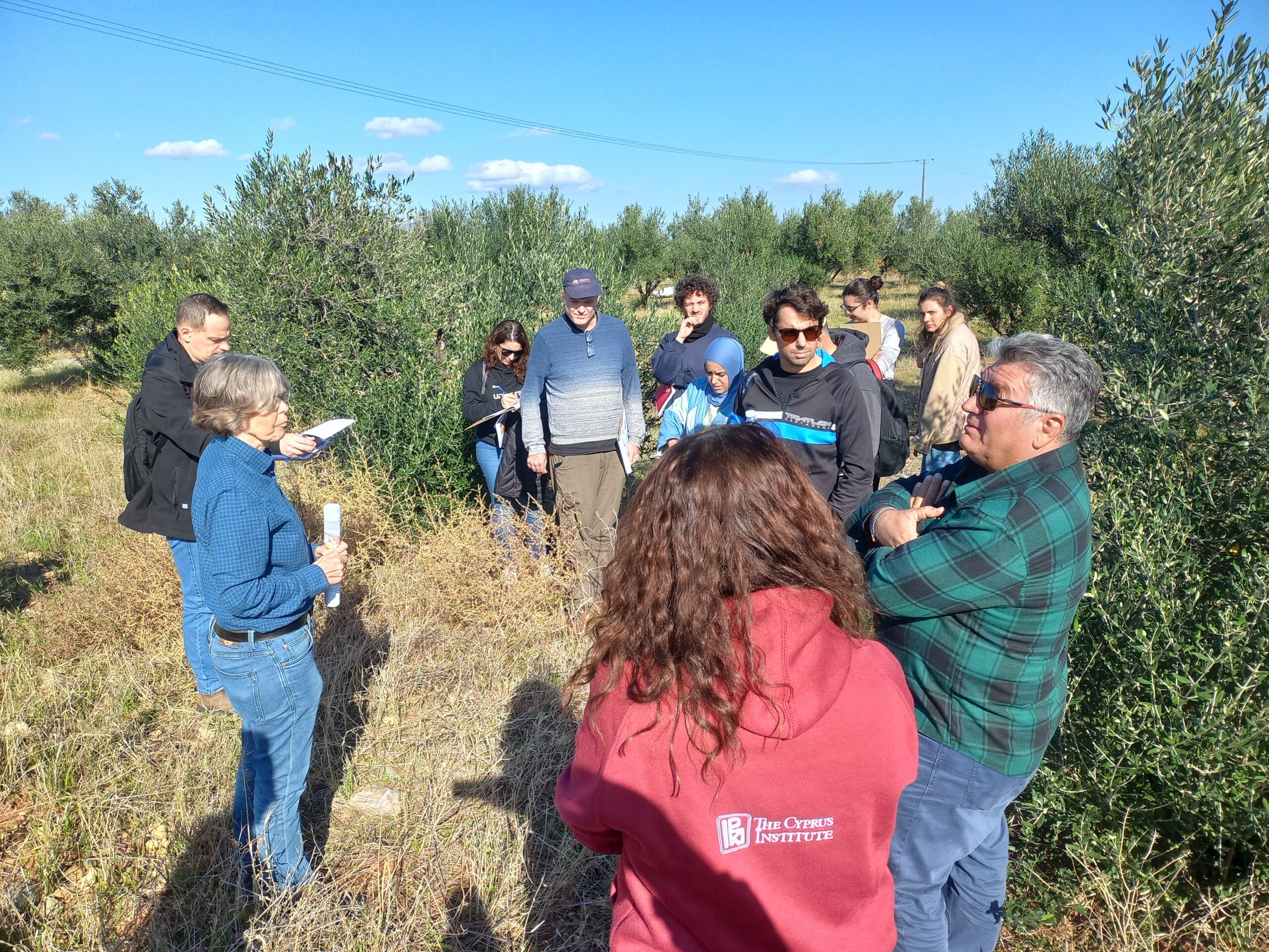
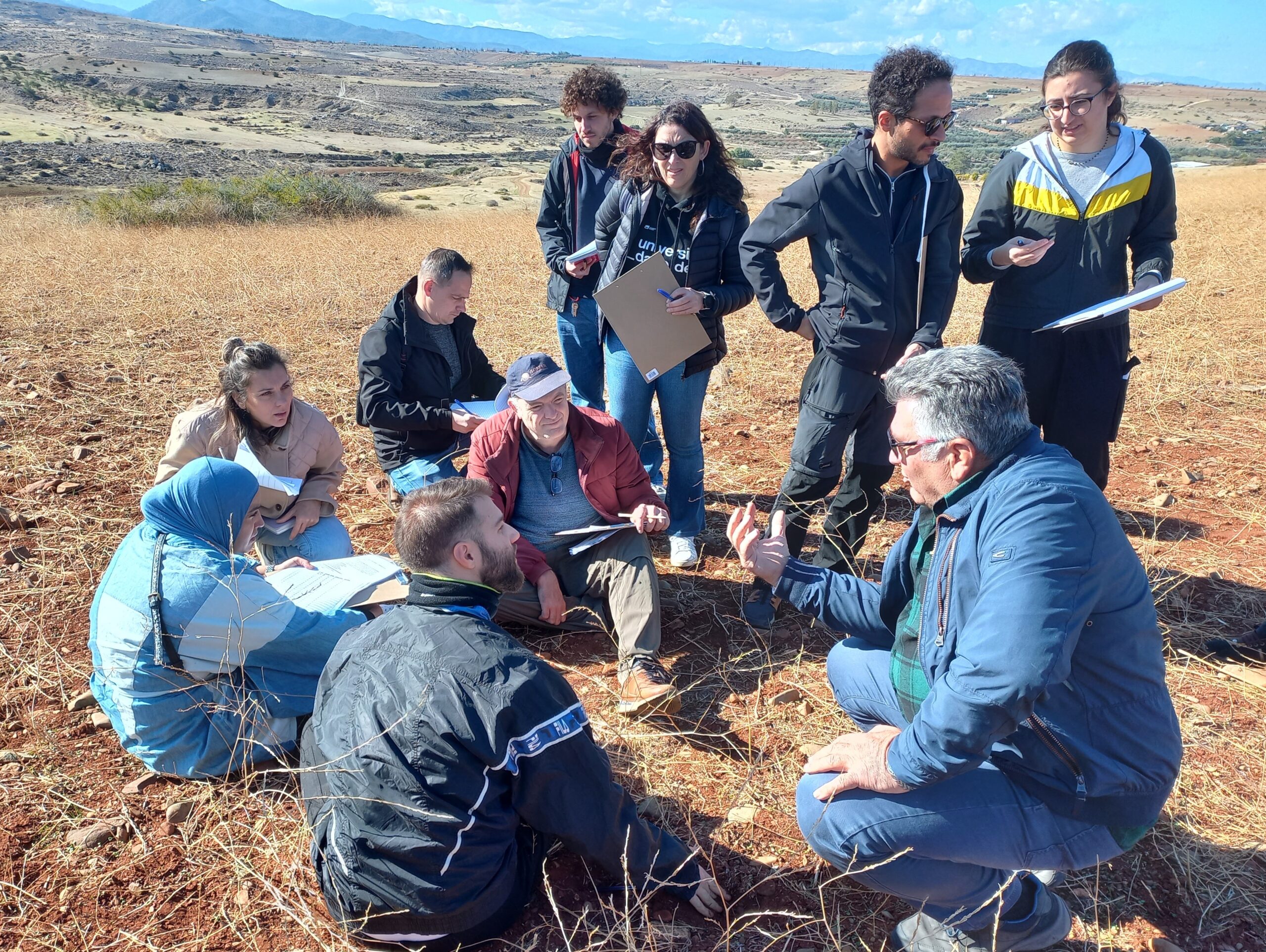
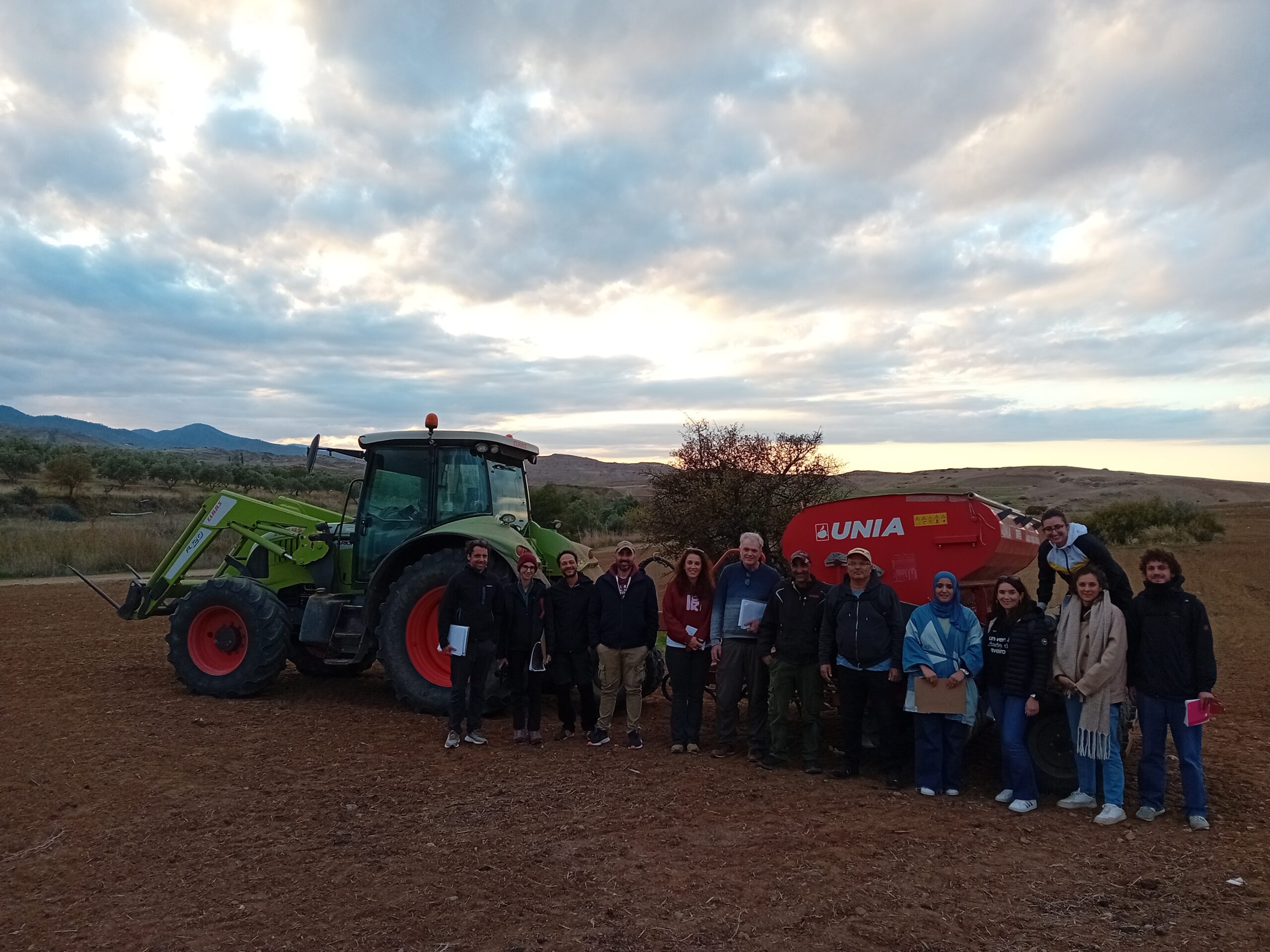
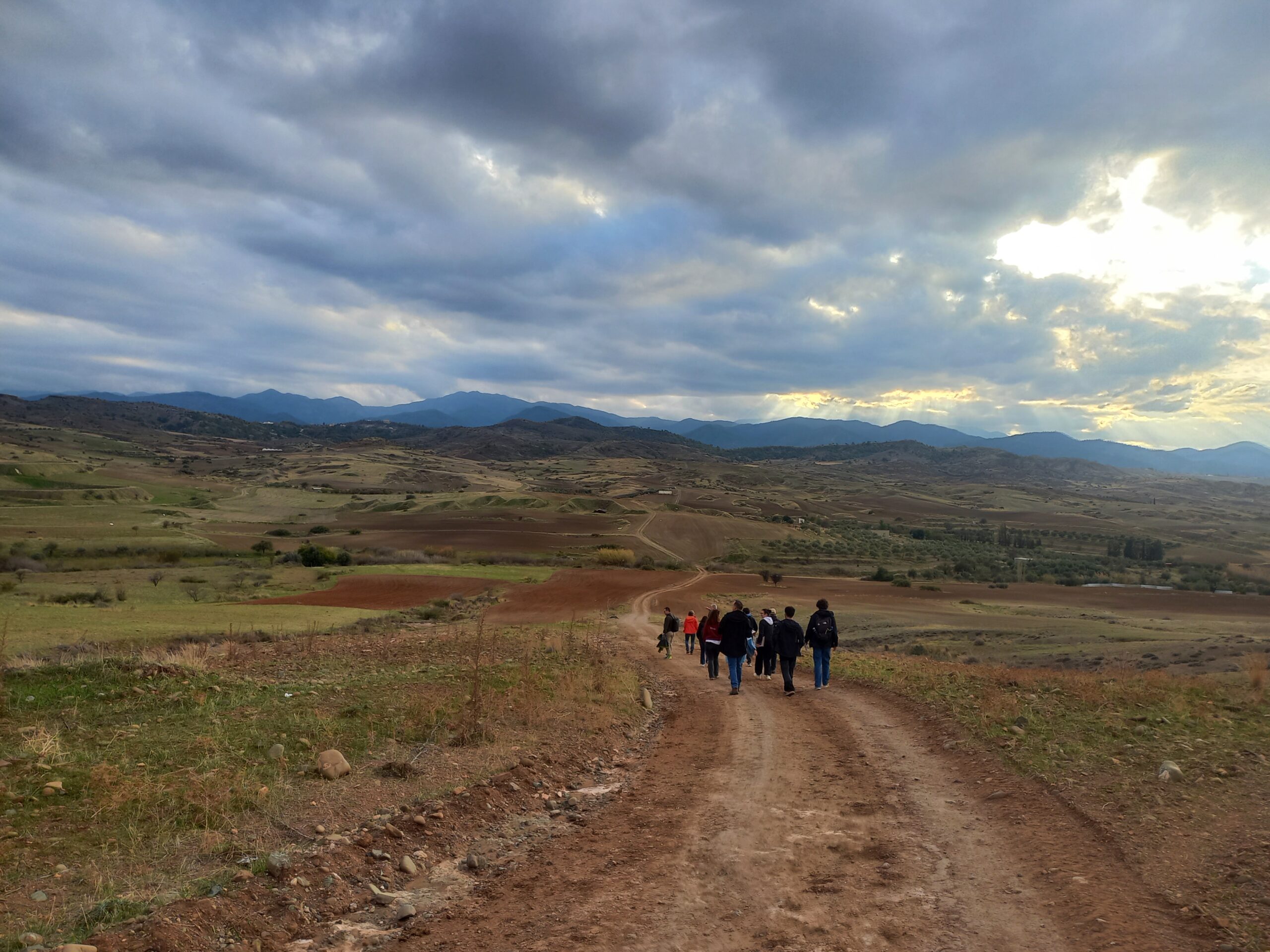
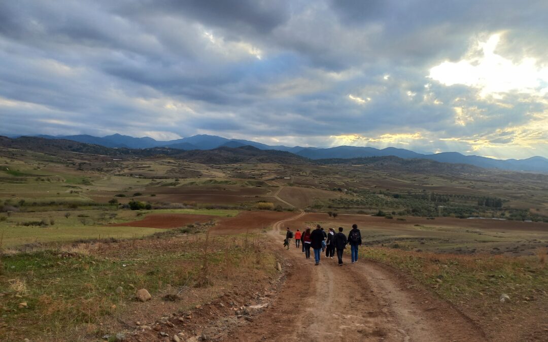
During our workshop, we focused on mapping land degradation and identifying practices for combatting desertification. The three intensive days included insightful discussions, hands-on fieldwork and collaborative mapping exercises in TERRASAFE’s Cyprus Pilot Area. We are grateful to several Cypriot farmers for sharing their invaluable knowledge and experiences of agricultural production in such a dry environment.
Thank you to all participants for advancing sustainable land management efforts!