
Terrasafe Cyprus Pilot Area


Location of Pilot Area
The Cyprus pilot area comprises the 14 communities of the Morphou Complex: Agia Eirini, Agia Marina, Agios Georgios Kafkalou, Akaki, Astromeritis, Vyzakia, Kannavia, Kato Koutrafas, Kato Moni, Nikitari, Xyliatos, Orounta, Peristerona, and Potami. These 14 communities also constitute Community Service Cluster E, under the new local government reform initiative. Together, they span an area of 250 km2 and have a combined population of 10,563 people, as recorded in the 2021 census.
The pilot area leads for Cyprus are the Energy, Environment and Water Research Center of The Cyprus Institute (CYI) with team members Adriana Bruggeman, Christos Zoumides, Hakan Djuma and Andreas Savvides, and AKTI Project and Research Centre (AKTI) with team members Demetra Petsa, Christina Fessa and Elisavet Felekidou.
Geographical Context
The climate across the pilot area communities is characteristically Mediterranean, with hot, dry summers and mild, wet winters. In the plains, such as in Astromeritis, the average annual rainfall is 276 mm (1980-2010), making it one of the driest areas in Cyprus. The terrain type ranges from plains in communities like Akaki, Peristerona and Astromeritis in the south, to hilly and mountainous regions in Agia Eirini, Kannavia, Nikitari, Agios Georgios Kafkalou and Xyliatos in the north. The southern part of the pilot area is part of the western Mesaoria Plain and the northern part belongs to the Troodos Mountain massif. The main soil types are calcic and chromic-vertic luvisols (red Mediterranean clay) in the plains and leptosols and regosols in the mountainous areas.

TERRASAFE
Cyrus Pilot Area;
> Land use
> key stakeholders
> factors affecting desertification
> Combatting Desertification
> Tested Innovations
> Land Use
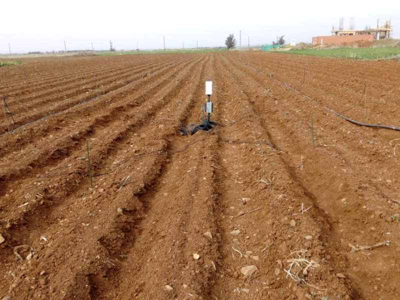
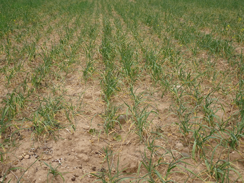
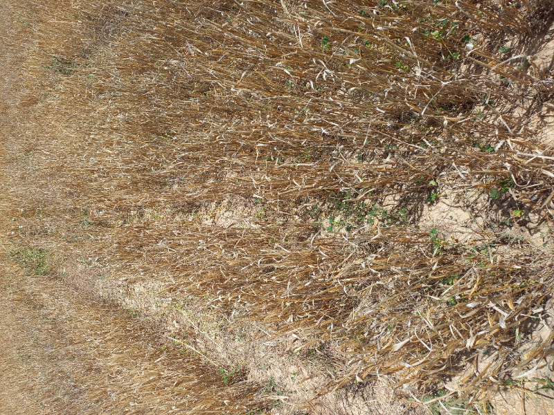
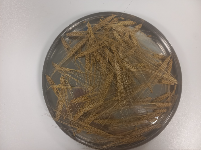
In the plains, the primary land use is rainfed barley cultivation, with irrigated vegetables, potatoes, and olive and citrus trees grown in smaller areas. Barley is typically sown after the first main rainfall events in November and harvested between March and May. The crop is generally baled whole, without harvesting the grain, and used as livestock feed. In drought years, no crop is harvested, making these marginal, rainfed croplands susceptible to desertification.
In the foothill areas, barley cultivation still persists, as well as olive groves. The mountainous regions are covered by pine forests, predominantly consisting of Pinus brutia species. Historically, agriculture in the mountains was practiced on dry-stone terraces, with cultivation of grapes, deciduous fruit trees, and occasionally vegetables. However, much of the terraced land has been abandoned, allowing natural vegetation to reclaim these areas.
> Key Stakeholders
At a local level the main stakeholders are farmers, landowners and the local authorities of the 14 communities. Stakeholders at district or national level with involvement in the pilot area are the Department of Agriculture, including Agricultural Extension, the Department of Environment and the Agricultural Research Institute, all under the Ministry of Agriculture, Rural Development and Environment, the Cyprus Agricultural Payments Organisation, agricultural and environmental researchers and educators at universities and colleges, farmer unions, and agricultural and environmental consultants and companies.
> Factors affecting desertification
The Cyprus pilot area faces several key challenges related to desertification. These include low and declining soil organic matter, low and variable rainfall, prolonged droughts, unpredictable temperature extremes and mono-cropping of cereals (barley after barley). The pilot area is also affected by groundwater overexploitation and contamination. The land around Orounda, on the eastern side of the pilot area, is a nitrate vulnerable area.
> Combatting Desertification
Traditional approaches for combatting desertification in the rainfed croplands include barley-legume rotations, application of animal manure (undigested) and stubble grazing by small ruminants. The Cyprus Rural Development Program 2023-2027 includes support measures aimed at improving soil organic matter and quality, such as (i) application of compost for grain crops (minimal 60 m3/ha) and for tree crops, vines, vegetables, and potatoes (30 m3/ha); and (ii) chipping of pruning materials and application of the chipped material to the soil. The National Strategy on Adaptation to Climate Change in Cyprus includes the identification and promotion of the use of indigenous and other genetic material (plant and animal) adapted to the soil-climatic conditions that will be brought about by climate change, as one of its adaptation measures. This measure falls under the responsibility of the Agricultural Research Institute and the Department of Agriculture of the Ministry of Agriculture, Rural Development and Environment. The Agricultural Research Institute also coordinates the LIFE AgrOassis project (2022-2026), which aims to regenerate soils by mulching and minimum or no tillage, install hedgerows and produce and apply composts in degraded agricultural land.
> TESTED INNOVATIONS
The innovations that will be tested in the pilot area are:
Agrobiogel – A gel made from 100% wood that mimics humus. It absorbs and stores water from rain or irrigation in the soil and then slowly releases it back to the plants during dry periods.
Imflorestal produce Ecochar – a biochar-compost mixture that restructures soil, adds carbon and reduces the need for reduces the need for water and fertilisers. It is inspired by “terra preta do indio”, or Indian black earth – a very fertile dark soil found in the Amazon basin.
ISOTECH – Compost made from green waste that has been gathered through a Circular Green Waste Management Scheme. The compost mitigates soil degradation by mimicking litter/humus, and aims to be much more affordable than standard composts.
Poultry manure pellets are made from the organic waste of poultry. It supplies organic carbon and readily available nutrients, improving microbial biomass/activity, nutrient cycling, and soil structure.



Relevant information Links about desertification in Cyprus
Global Publications
> The 2nd National Risk Assessment Report of The Republic of Cyprus (2016)
Presents a desertification assessment, based on the MEDALUS approach of Environmentally Sensitive Areas. Most for the 1991-2010 reference period. The pilot area land in the foothills and plains is classified as critical (C1-C3) and fragile (F3). The assessments under climate change scenarios (RCP4.4 and RCP8.5) for 2041-2060 and 2071-2090 show that desertification is projected to get worse.
View some of our latest news!
First TERRASAFE paper explores how communities make sense of rural depopulation
The study contributes new insights into the social dimensions of land degradation and desertification.
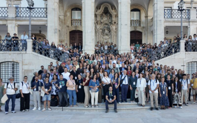
TERRASAFE shares desertification research at Soils for Europe conference
Bringing together more than 500 researchers, policymakers and practitioners, the conference provided a platform to discuss the latest advances in soil research across Europe and to foster new collaborations and actions in support of healthy soils.

Our latest TERRASAFE newsletter is out
In this edition, we go behind the scenes of ongoing work across Europe and North Africa, from emerging field insights to new research on land degradation. Highlights… Interview with Mark Schauer, Economics of Land Degradation We interviewed Mark Schauer,...